
Influence of topography on vegetation organization in a semiarid ecosystem in central New Mexico
This is a continuation to this project.
Topography plays a commanding role on vegetation patterns. Plant biomes and biodiversity vary systematically with slope and aspect, from shrublands in low desert elevations, to mixed grass/shrublands in mid elevations, and forests at high elevations. In this work, we demonstrate the application of CATGraSS model, developed in Landlab, driven by elevation dependent rainfall pulses and slope- and aspect-dependent solar radiation, on watersheds with contrasting topography. In the figure below, we compare the modeled vegetation organization on a sloped watershed with respect to a flat watershed in semiarid central New Mexico: (a) Contrasting biomes observed in (i) flat, and (ii) sloped watersheds; (b) (i)&(ii) spatial map of modeled vegetation organization on flat watershed at years 400 & 18000 respectively, (iii) time series of modeled grass, shrub, and tree cover fractions for CATGraSS implementation on a flat domain for central New Mexico climatology; (c) Digital Elevation Model of a sloped watershed used in (d); (d) (i)&(ii) spatial map of modeled vegetation organization on (c) at years 400 & 18000 respectively, (iii) time series of modeled grass, shrub, and tree cover fractions for CATGraSS implementation on watershed shown in (c).
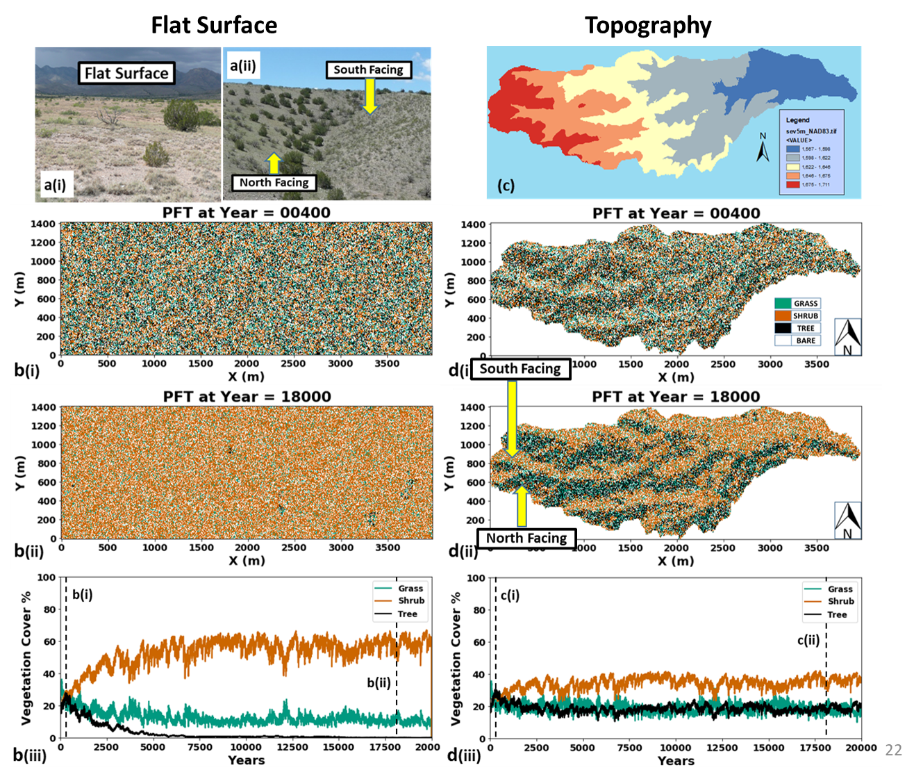
Observe how trees survive on North Facing Slopes (Figure d(ii)). This is because of the conserved soil moisture due to reduced total solar radiation. To further understand the spatial dynamics, I have included the timeseries of spatial organization of PFTs for:
Flat Watershed: 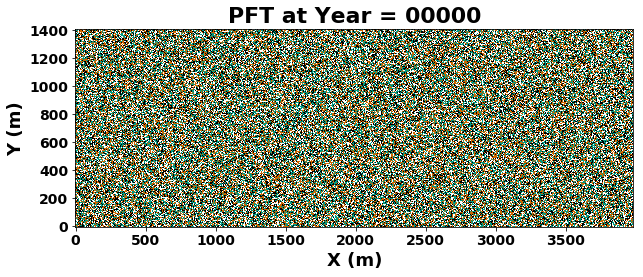
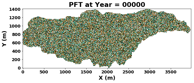
Sloped Watershed:
For more information, checkout this presentation and stay tuned for this publication.
*PFT - Plant Functional Type (Tree, Shrub, or Grass)